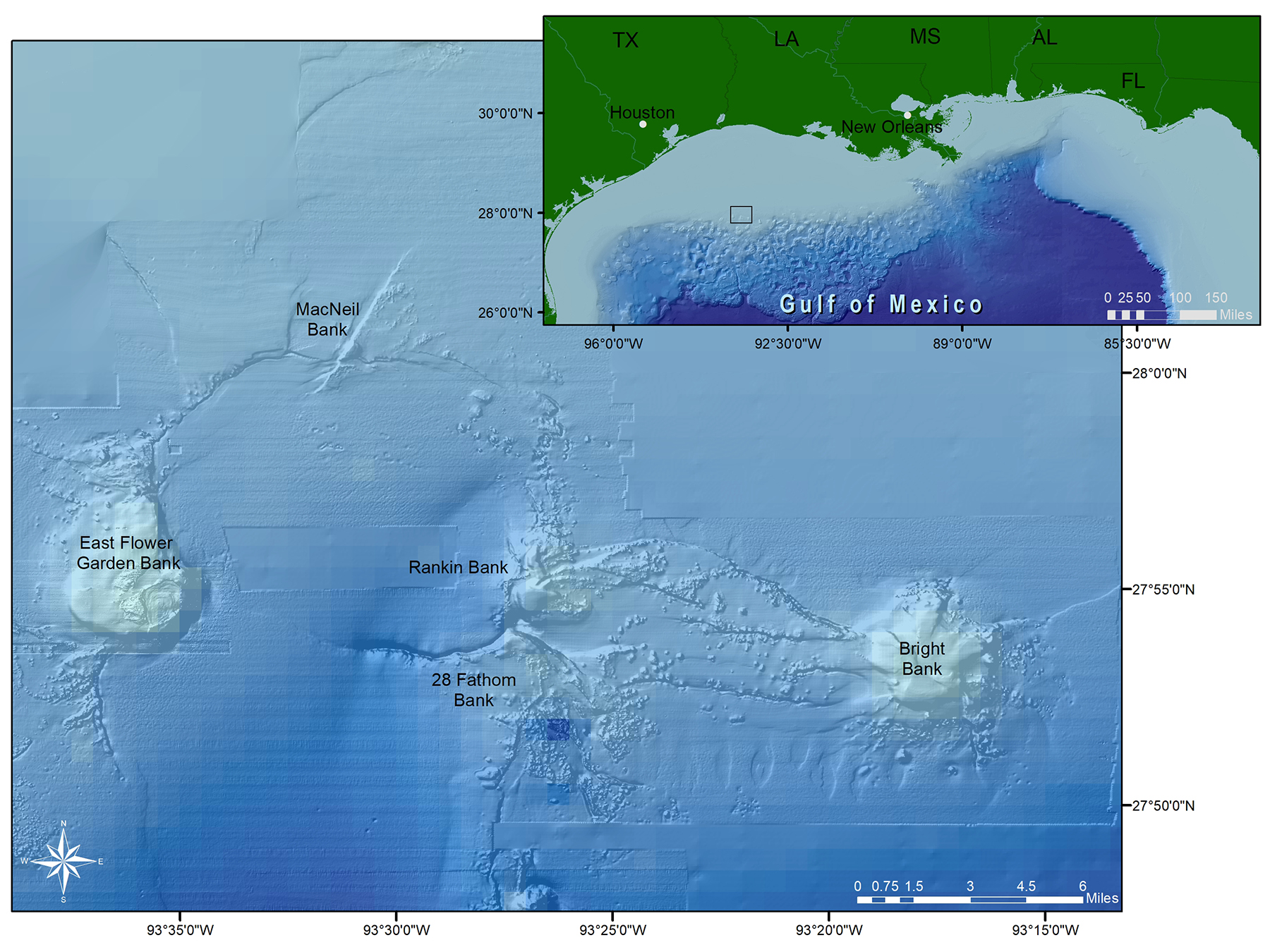
MacNeil Bank
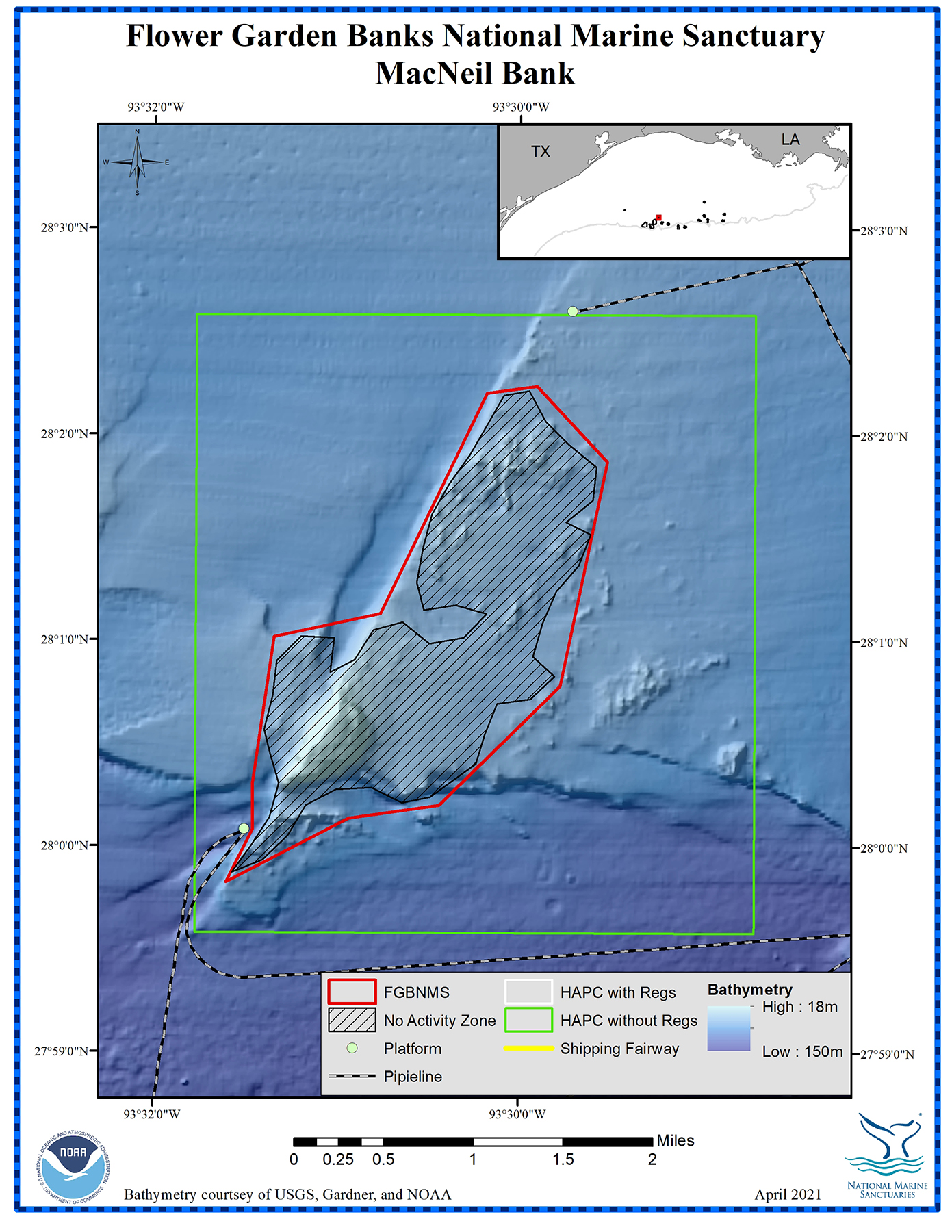
Depth Range: 210-315 feet (64-96 meters)
Distance from Land: 116 miles (187 km)
Area: 2.7 square miles (7 sq km)
MacNeil Bank, located northeast of East Flower Garden Bank, is bisected by a 754 foot (230 m) long trough. It is structurally connected to East Flower Garden, Rankin and 28 Fathom Banks around the semicircular rim of a depression in the sea floor that is about 2.5 miles (14 km) across.
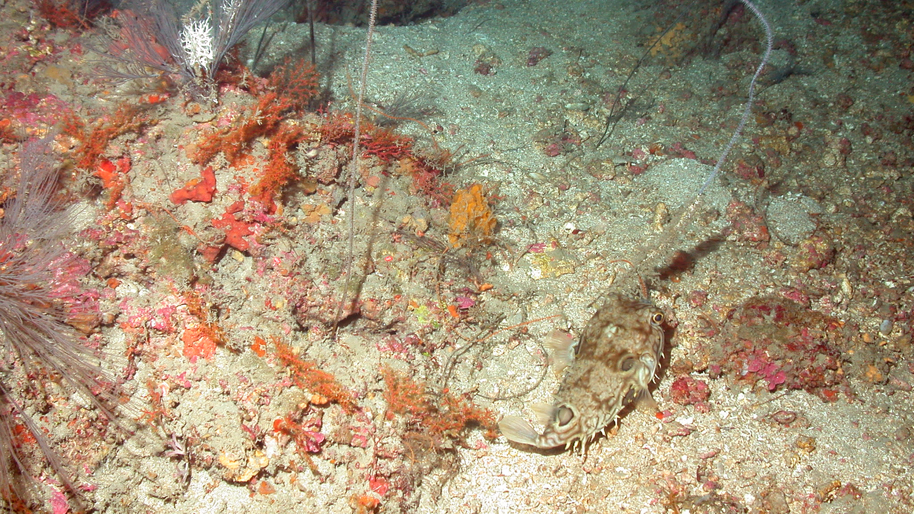
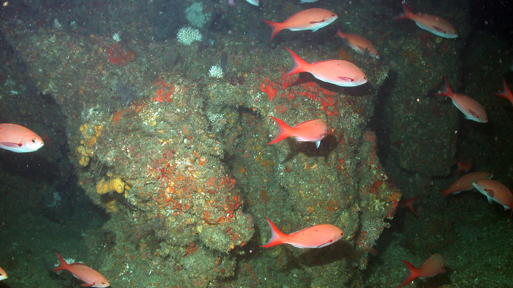
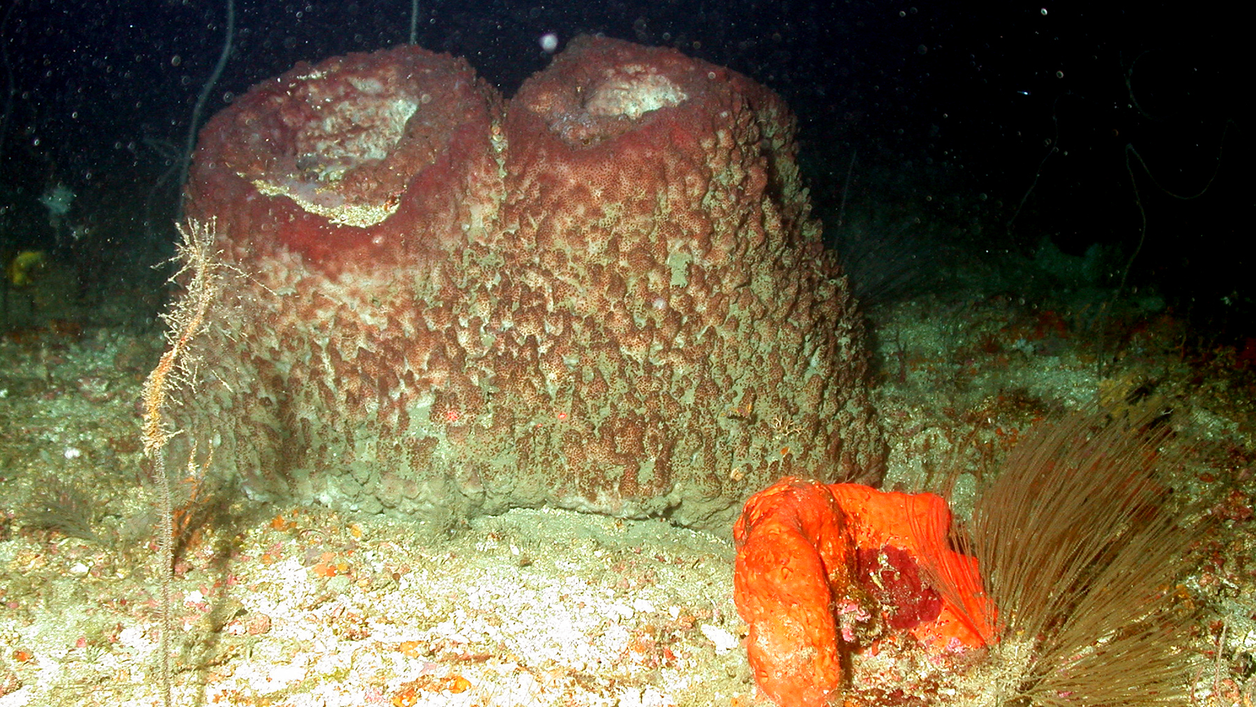
Mesophotic habitat at MacNeil Bank includes black corals, octocorals, sponges and fish. It is also designated as a Habitat Area of Particular Concern (HAPC).
MacNeil Bank was named after F. Stearns MacNeil, a U.S. Geological Survey geologist.
Who Was F. Stearns MacNeil?
F. Stearns MacNeil (1909-1983) was a geologist with the U.S. Geological Survey. He was well-known for his hypothesis that sea level variations were major factors in reef formation. MacNeil also did extensive geologic mapping of the northeastern Gulf.