Horseshoe Bank
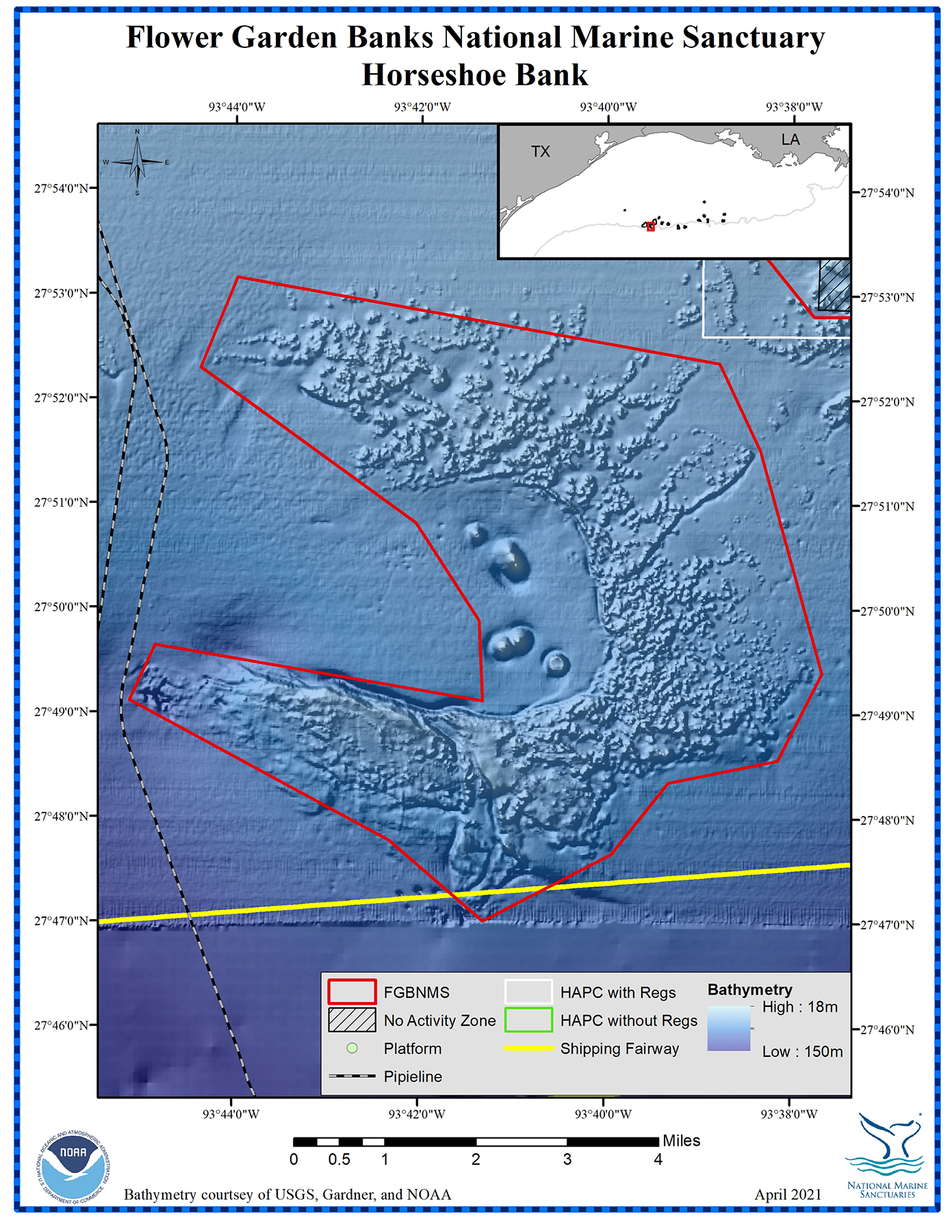
Depth Range: 243-614 feet (74-187 meters)
Distance from Land: 121 miles (0195 km)
Area: 28.7 square miles (74.3 sq km)
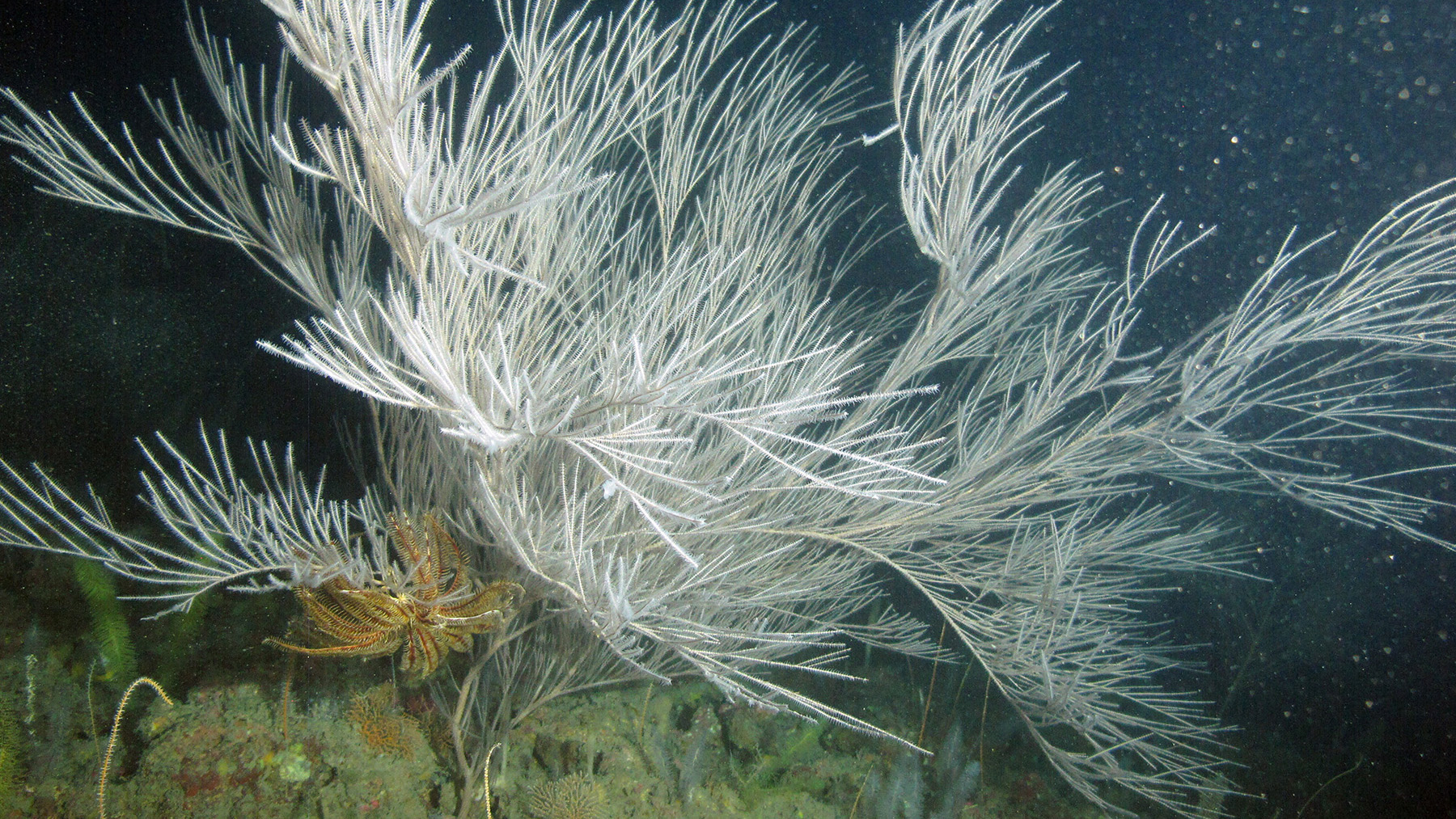
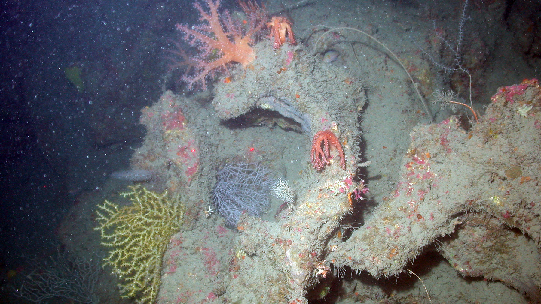
Horseshoe Bank, located between East and West Flower Garden Banks, was unknown until NOAA conducted high resolution multibeam mapping surveys in the area in 2004. This effort revealed thousands of patch reefs providing habitat for mesophotic corals, sponges, algae, invertebrates and fish. It also included a few mud volcanoes (the raised bumps inside the horseshoe shape on the map above).
Horseshoe Bank was named by sanctuary research staff based on the overall shape of the feature. The name became official in 2015.
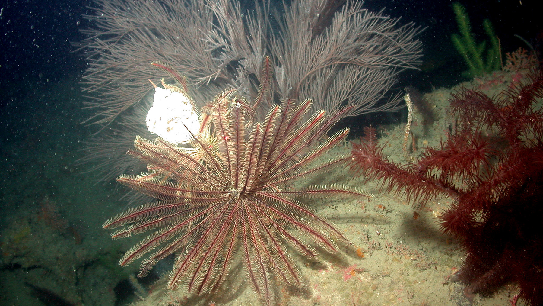
A crinoid spreads it's arms amid deepwater corals at Horseshoe Bank. Photo: FGBNMS/UNCW-UVP